The Shift from Restricted Access to Public Evidence
Modern conflicts increasingly place the most important events beyond the physical reach of reporters. Front lines are sealed, cities are evacuated, communications are disrupted, and governments or armed groups restrict access to contested areas. Conventional eyewitness journalism, which depends on a correspondent observing conditions directly and speaking with people on the ground, remains indispensable, but it can no longer carry the entire burden of establishing what happened.
That gap has helped make open-source intelligence, or OSINT, a central instrument of public accountability. Satellite imagery, social-media footage, public records, mapping platforms, flight data, and archived web pages can be assembled into an independently testable account of events. The distinction that matters is between amateur web sleuthing and disciplined investigation. OSINT is not a collection of clever guesses or viral screenshots. It is a method that tests provenance, location, timing, corroboration, uncertainty, and legal relevance, while documenting how each conclusion was reached.
Satellite Verification and Remote Ground Truth
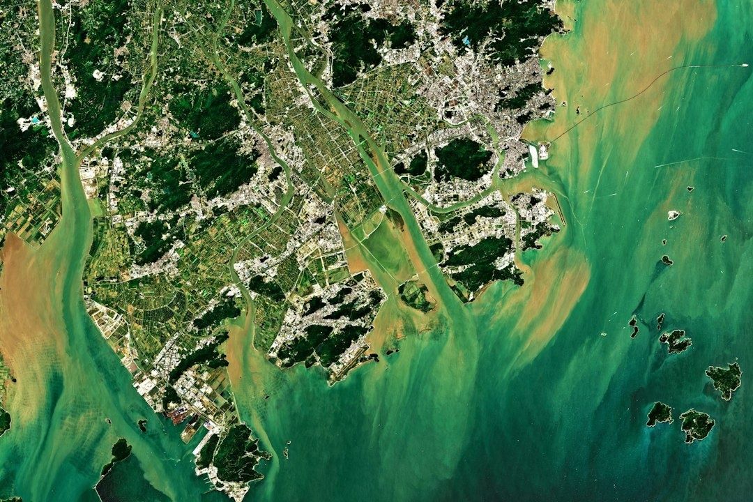
Satellite imagery has changed what investigators can establish when access to the ground is impossible. High-resolution optical images can show damaged roofs, flattened buildings, road alterations, burn scars, defensive positions, and changes in settlement patterns. Synthetic Aperture Radar is valuable in a different way because it can detect changes in the physical environment despite darkness and, in many cases, cloud cover. Comparing images from before and after an incident can reveal not only that destruction occurred, but also its distribution and sequence.
Orbital evidence is strongest when it is treated as one layer in a broader evidentiary structure. Investigators may compare satellite snapshots with municipal maps, cadastral information, architectural plans, older photographs, and videos uploaded by residents or combatants. A video showing a distinctive building becomes more meaningful when its visible façade, road alignment, terrain, and neighboring structures correspond with imagery taken from above. The process also requires restraint. Limited image resolution, collection gaps, seasonal changes, and deliberate concealment can make a precise assessment impossible.
This method has been used to quantify destruction in places where journalists could not safely report from the ground. A BBC Verify investigation of satellite evidence from southern Lebanon identified more than 1,400 buildings destroyed since 2 March, while emphasizing that the figure was partial because access and imagery were limited. The analysis documented extensive demolition in communities including Taybeh, Aita al-Shaab, and Naqoura. Such findings do not, by themselves, determine criminal responsibility, but they establish a physical record that can be compared with evacuation orders, military statements, attack patterns, and legal standards concerning military necessity.
- Use multiple image dates to distinguish recent damage from older destruction.
- Compare satellite observations with independently sourced ground footage and mapping data.
- Record image provider, collection date, resolution, cloud conditions, and analytical limitations.
- Avoid treating a detected change as proof of intent without additional evidence.
The Anatomy of Geolocation and Chronolocation
Geolocation begins with disciplined observation. Investigators catalogue features that are difficult to move or reproduce, such as minarets, apartment blocks, bridges, utility poles, ridgelines, road junctions, distinctive walls, and the relationship between buildings and terrain. A useful reference library can be created before a crisis by mapping landmarks and collecting publicly available photographs. The approach described in Bellingcat”s landmark-mapping methodology demonstrates why pre-cataloguing matters: a researcher can compare a chaotic video with an organized set of known visual references instead of starting from zero each time.
Chronolocation adds the question of when. Shadows cast by poles, buildings, vehicles, and people can be compared with the sun”s position at different times and dates. Investigators may also examine weather, vegetation, construction progress, religious or public schedules, visible clocks, and the changing position of smoke. Shadow analysis is rarely sufficient on its own, especially when camera perspective is uncertain, but it can narrow a time window and test whether a claimed upload date is plausible. The strongest conclusions usually emerge when several independent indicators converge.
| Method | Strength | Primary limitation |
|---|---|---|
| Manual spatial triangulation | Transparent and easy to explain step by step | Slow and dependent on investigator expertise |
| Landmark cataloguing | Accelerates repeated analysis in the same region | Requires reliable reference imagery and careful labeling |
| Automated geospatial tools | Can process large image and map datasets quickly | May reproduce bad assumptions or miss context |
| Shadow and solar analysis | Can test timing claims using physical evidence | Sensitive to camera angle, terrain, and incomplete metadata |
Automation therefore supports, rather than replaces, human judgment. A mapping tool can suggest candidate locations, cluster similar images, or identify changes across large datasets. It cannot reliably decide whether a landmark is genuinely unique, whether a video has been cropped, or whether an apparent match is the result of confirmation bias. Investigators should preserve rejected alternatives as well as the final answer. That record makes the analysis auditable and helps editors, researchers, or courts understand not only what was concluded, but why competing explanations were discarded.
Preserving Chain of Custody for Courtroom Standards
Digital evidence is unusually vulnerable. A post can be deleted, an account can be suspended, a platform can alter its interface, and a government or armed group can deliberately remove incriminating material. Reuploads can strip metadata or introduce edits, while compression may obscure details needed for authentication. Preservation must therefore begin as soon as potentially significant material is found, before its context disappears.
Forensic preservation is not simply downloading a video. Investigators need to capture the original URL, account information, upload time as displayed, surrounding text, comments where relevant, access date, file format, and the steps used to obtain the material. Cryptographic hashes can record the digital fingerprint of a downloaded file. If the file later changes, the hash will change as well. Hashing does not prove that a video is truthful or that its first upload was authentic, but it helps demonstrate that the preserved copy has not been altered after collection.
The transition from news reporting to legally oriented evidence gathering is documented in this Reuters Institute assessment of Bellingcat”s Ukraine work. The project combines multi-source verification, mapping, incident databases, browsing records preserved through Hunchly, and archived material protected with hashes. Bellingcat”s Auto Archiver illustrates the operational challenge: investigators may need to save videos, screenshots, thumbnails, metadata, frames, durations, and platform-specific copies across services that change constantly. The project has documented more than 1,000 incidents, while recognizing that documentation and prosecution are separate stages.
- Capture the material and its surrounding context as soon as possible.
- Record provenance, collection time, URL, account details, and technical metadata.
- Calculate and preserve cryptographic hashes for collected files.
- Corroborate location, timing, content, and attribution through independent sources.
- Maintain an audit trail showing edits, access controls, analytical decisions, and unresolved uncertainties.
Courts will ask questions that differ from those asked by a newsroom. They may examine authenticity, relevance, reliability, hearsay, attribution, and the continuity of possession. A transparent OSINT process cannot guarantee admissibility, but it gives prosecutors and judges a basis for assessing the material. It also discourages investigators from overstating what the evidence can prove. A carefully preserved record may ultimately matter years after publication, when platforms have changed and witnesses are difficult to locate.
Institutionalizing Ethics and Methodology in Digital Investigations
OSINT creates ethical hazards alongside investigative opportunities. A researcher may expose a civilian”s home address, amplify graphic imagery, identify a vulnerable witness, or unintentionally help an armed actor target an individual. Doxxing risks are especially serious when geolocation reveals the position of a person or community. Privacy protection may require blurring faces, withholding exact coordinates, delaying publication, or separating sensitive source material from the public-facing investigation.
The work also imposes psychological costs. Reviewing images of killings, displacement, and destruction over long periods can produce vicarious trauma, numbness, sleep disruption, or impaired judgment. Institutional safeguards should include workload limits, peer review, psychological support, training in exposure management, and clear rules about when graphic material is necessary. These are not peripheral welfare measures. A fatigued investigator is more likely to overlook contradictions, accept a weak attribution, or confuse repeated exposure with corroboration.
OSINT is increasingly becoming a formal professional field rather than an informal collection of techniques. The University of Memphis, for example, offers an open-source investigative reporting program covering data sourcing, computational methods, satellite imagery, geolocation, chronolocation, verification, media law, and ethical uses of artificial intelligence. Human rights organizations are also building dedicated capacity, using OSINT for early warning, rapid response, documentation, advocacy, and cooperation with country teams.
- Separate observation from interpretation and interpretation from legal conclusion.
- Use at least two independent forms of corroboration whenever possible.
- Test disconfirming evidence instead of searching only for material that supports the initial theory.
- Document uncertainty, confidence levels, and known gaps in the record.
- Treat artificial intelligence as an assistive tool, not an authority.
Deepfakes and synthetic media make these disciplines more urgent. A convincing image can still be geographically impossible, temporally inconsistent, or derived from an older event. Automated detection tools also produce false positives and false negatives, so they should be combined with source analysis, reverse-image searches, frame-by-frame inspection, and contextual research. The central safeguard is methodological humility: when the evidence does not support a firm conclusion, the published finding should say so plainly.
Strengthening Democratic Accountability Through Transparent Evidence
Open-source verification changes the relationship between public claims and public knowledge. Governments, militaries, corporations, and armed groups may issue official accounts, but those accounts can be tested against imagery, records, timelines, and observable physical change. This does not make OSINT automatically neutral or infallible. It does create a route toward independently verifiable reality when access is restricted and institutional statements conflict.
Its democratic value ultimately depends on transparency. Readers, editors, investigators, and courts should be able to follow the path from original material to published conclusion, including the limitations and alternatives considered along the way. That discipline strengthens journalism in the present and protects the historical record in the future. When disinformation campaigns seek to erase evidence, rewrite timelines, or overwhelm audiences with contradictory claims, a preserved and reproducible investigation can provide something more durable than a viral assertion: a documented account whose reasoning remains available for scrutiny.